Mapped Currents
mappedcurrents.ca
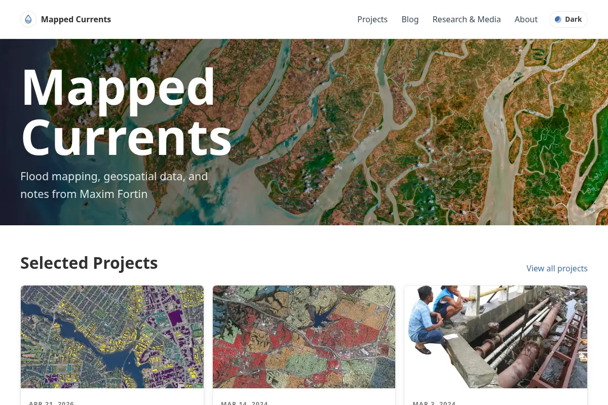
Flood mapping, geospatial data, and notes from Maxim Fortin
A personal collection of flood mapping and geospatial data, accompanied by the creator's notes. The site serves as a resource for those interested in environmental data visualization and mapping techniques. Its value lies in the combination of practical data with reflective commentary, making it suitable for researchers, cartographers, or anyone curious about how water shapes landscapes.
Checked with Google Web Risk · 1 day ago
- language
- EN
- here since
- July 2026